You can use your Bluesky account to reply to this post.
(Learn how this is implemented here.)
Hi there! I’m going to show how the map for Wilderness works. The goal of the map is to provide a tangibility to the world itself and inspire the fiction of a mission.
The first step is defining where The Collective and whatever the nearest Republic city, town, base, or settlement is. (There could also be more than one, but there should be at least one prominent one - it was a factory, after all.)
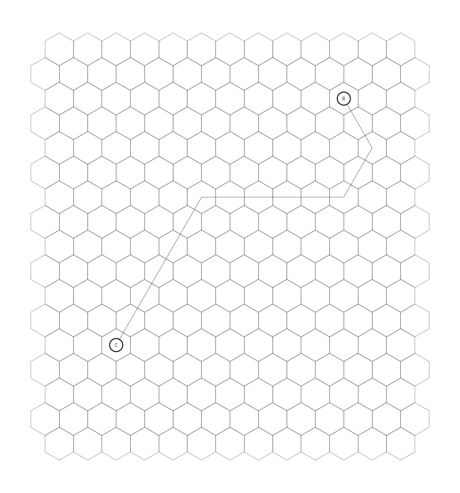
To start, we define hexes for each (R and C on this map) and draw a road (dotted line) between the two. The road doesn’t have to be fully direct, so ours won’t be.

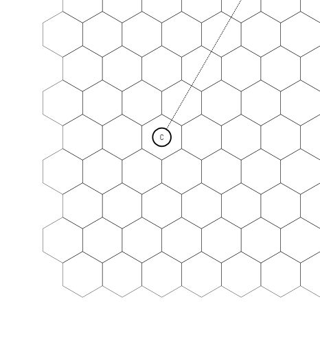
And to zoom in on The Collective (because that’s what we’re focusing on):

Defining a hex involves 3 rolls (or choices, as the case may be):
Themes are all done via d6 rolls on the below table:
Detail is a similar die roll, but only 1’s and 6’s matter. A 1 means some natural or alien landmark (like an enormous tree, or a river, or some alien plant that’s taken root). A 6 means some manmade landmark (like a monument, a major road, or a prominent building).
For areas close to a major settlement (The Collective and that adjoining Republic settlement count), roll twice and take the higher for Primary Theme and Detail. For areas further out, roll twice and take the lower for Primary Theme and Detail. For areas that are in between, roll one die for Primary Theme and Detail. (Secondary theme is always one die.)
For each of these two major settlements we’re defining from the outset, you’re supposed to define everything within 2 hexes of each settlement. In theory, you could do 18 of these, but it’s strongly suggested you do 6 of these and apply them to 3 hexes each (rolling Details individually though for each of those 3 hexes). We’ll just do The Collective right now.
I’ll lay this one out fully so it’s clear and skip to the rolls/results for the other 5.
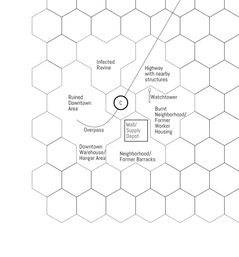
We’ll define this as what used to be a suburban tracked-housing neighborhood, possibly originally designed as homes for workers of the factory that would become the Collective, or possibly long before that. The manmade detail is that they’re built around a big shopping mall, since turned into some kind of depot.
And for the others:
So this is what the map looks like now!

(And you’d repeat this for the Republic settlement.)
We’ve constructed a narrative around The Collective from these rolls! This hex-definition method is used both at the start of a campaign and during a campaign: every time a mission is located outside The Collective at an unknown area, that hex is defined. This not only provides some immediate hooks for a mission but also helps create a greater sense of permanency over time.
Check out The Infected World if this was of any interest to you! There’s some extra stuff attached to this, but you’ll have to get it to see what it is. I’ll be expanding these mechanics further with subsequent modules as well.
Until next time!
(Read the original on itch here!)
You can use your Bluesky account to reply to this post.
(Learn how this is implemented here.)